A decade of cooperative effort between citizens, environmental groups, politicians, and the DNR ended successfully with the passage of the law establishing the Lower Wisconsin State Riverway and the Lower Wisconsin State Riverway Board in 1989. Our goal is to provide a quality public use area for unique river corridor activities and compatible recreational pursuits; maintain the generally natural and scenic landscape of the Lower Wisconsin Riverway; and manage the corridor's natural resources for the long-term benefit of the citizens of the area and state.
The Lower Wisconsin State Riverway boundary contains 79,275 acres, of which over 44,000 are in state ownership, divided into 26 management units, and also contains or is next to State Natural Areas (SNA), Wildlife Areas (WA), and State Parks. The management is a team effort by wildlife managers, fisheries staff, foresters, park managers, wardens, land agents, and various natural resource specialists. The Lower Wisconsin State Riverway Board a unique and separate State agency, is responsible for the scenic protection of the river valley.
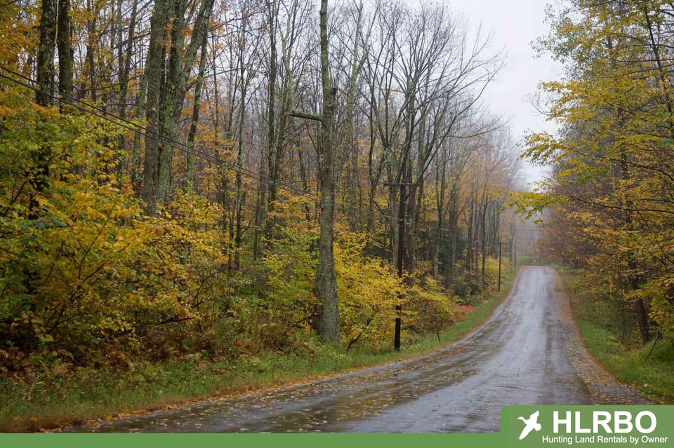
The Lower Wisconsin State Riverway contains a fantastically diverse resource with a wide variety of historical and archaeological sites, wildlife, fisheries, and scenic beauty found nowhere else. You will enjoy your visit here and likely return again and again.
Two thirds of river users can be found on the stretch of river between Prairie Du Sac and Spring Green. Those looking for a more private experience will enjoy the middle section from Spring Green to Boscobel, and for the user wishing solitude, the stretch below Boscobel is the most secluded.