To best describe the area, it should be broken down into different segments for a better understanding of the area.
Topography - the area lies at the edge of the Ozark highlands. Topography ranges from gently rolling to hilly with narrow ridges and drainages. Elevation on the area range from 320 feet msl in the lower creek drainages to just over 800 feet msl on Buck Ridge in the southern portion of the area.
Vegetation - Upland hardwood forest is the predominant vegetative type on the area. This forest covers approximately 90 percent of the area and consists of various oak-hickory stands interspersed with eastern red cedar glades. The remainder of the area is comprised of openlands in the form of maintained field systems, small forest openings and utility and road right-of-ways.
Water - The area has 3 creeks, Rock, Ott and Pierce Creeks, all of which flow into the Spring River.
1.6 miles of the eastern boundary is comprised of the Spring River. There is a usable boat access within this section that can be used throughout the year.
The area has 78 ponds on it, ranging in size from 1/10 to 1 acre. Fields and Openings - there are 905 acres of old fields on the area. Within these fields are 84 food plots. In future plans more openings will be constructed in forest segments.
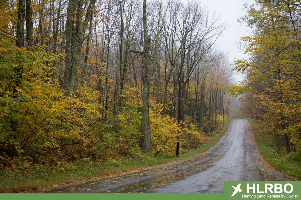
There are three accesses to the area. Two of which are on Highway 62/267 at Highland and at Hardy, signs are at these accesses. In each of these, the roads start out as paved and turn into county gravel roads. The third access is off highway 58 at Sitka, turn north on county gravel road at Sitka.
The major hunting opportunity is white-tailed deer. Deer hunting by modern gun and muzzleloader are managed by permit hunts to prevent overcrowding and enhance the experience for successful applicants. Archery season is the same as the zone regulations and dates. Turkey hunting by gun is by permit only. Other hunting opportunities exist with squirrel, rabbit and quail.