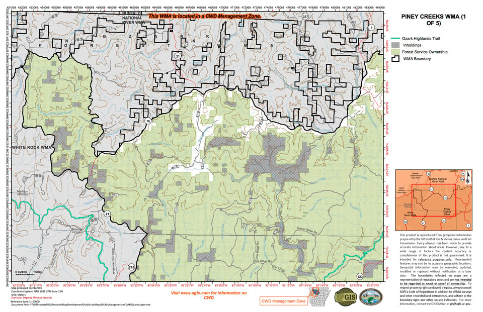
Contains 176,000 acres of rugged Ozark Mountain terrain. The area is predominantly forested in upland hardwoods and mixed shortleaf pine/hardwood forest types. Big Piney Creek and the North Fork of the Illinois Bayou flow generally north to south through the central and eastern part, respectively, and Little Piney Creek more or less traverses the western and southern boundaries of the area.
From I-40 at Russellville; turn north on Hwy. 7 and go 15 miles north and you will be at the southern boundary of the area when you pass the Ozark National Forest portal sign. Exit I-40 at Lamar; take Highway 64 west to Highway 123 and go 15 miles north to the National Forest/WMA boundary. Take Highway 7 south from Harrison about 50 miles to Pelsor, at Pelsor State Highway 16 is the northern boundary to the east and Highway 123 is northern boundary to the west until you reach the junction Newton County Rd 61.
The Piney Creeks WMA provides fair to good hunting and trapping opportunities during most years for all resident forest game and furbearer species including white-tailed deer, wild turkeys, black bear, gray and fox squirrels and raccoons. The scarcity of alternative food sources and the dependence on fickle mast crops for winter food on the area often results in dramatic fluctuations in survival and reproductive rates of popular game birds and animals. Hunters can expect to encounter population cycles that are very obvious increases or decreases in the numbers of animals and birds observed from one year to the next. Cyclic fluctuations may be quite dramatic for such species as squirrels, wild turkey and raccoons.