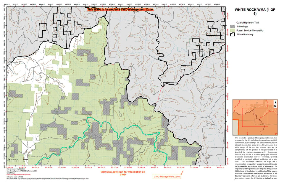
The area is situated in the heart of the rugged Boston Mountains in Northwest Arkansas. The area is extensively forested with upland hardwoods occurring primarily on northern and eastern aspects and shortleaf pine and pine/hardwood mixtures on the southern and western exposures. Deep hollows and steep benched ridges best describe the terrain. The Mulberry River, a popular canoeing, kayaking and fishing stream runs through the southern part of the area. The area is very rugged with deep hollows, steep benched ridges and precipitous bluffs. The area has 4 major lakes; Shores Lake, Horsehead Lake, Lake Ft Smith and Lake Shepherd Springs.
Numerous Federal and State Highways and County Roads can access the area. US HWY 71 constitutes the western boundary of the area with large highway directional signs marking access roads at the towns of Winslow and Mountainburg. Access from the north can be obtained off State Hwy. 16 by way of several county and Forest Service Roads located at Dutton, Delaney, Combs, St. Paul and Pettigrew. The area can be easily accessed from the south off Interstate 40 from State Hwy 103 at Clarksville, State Highway 23 (often called the "Pig Trail") at Ozark and Highway 71 at Alma.
The area provides fair to good public hunting and trapping opportunities during most years for squirrels, deer, wild turkeys, black bear and furbearers. Hunters should expect to observe fairly dramatic increases or decreases in squirrel and wild turkey numbers from year to year as well as changes in habitat preference by deer and black bears. Dependence on fickle mast crops for winter food sources often results in cyclic fluctuations in reproduction and survival for some species and shifts in habitat use by others when mast is scarce.