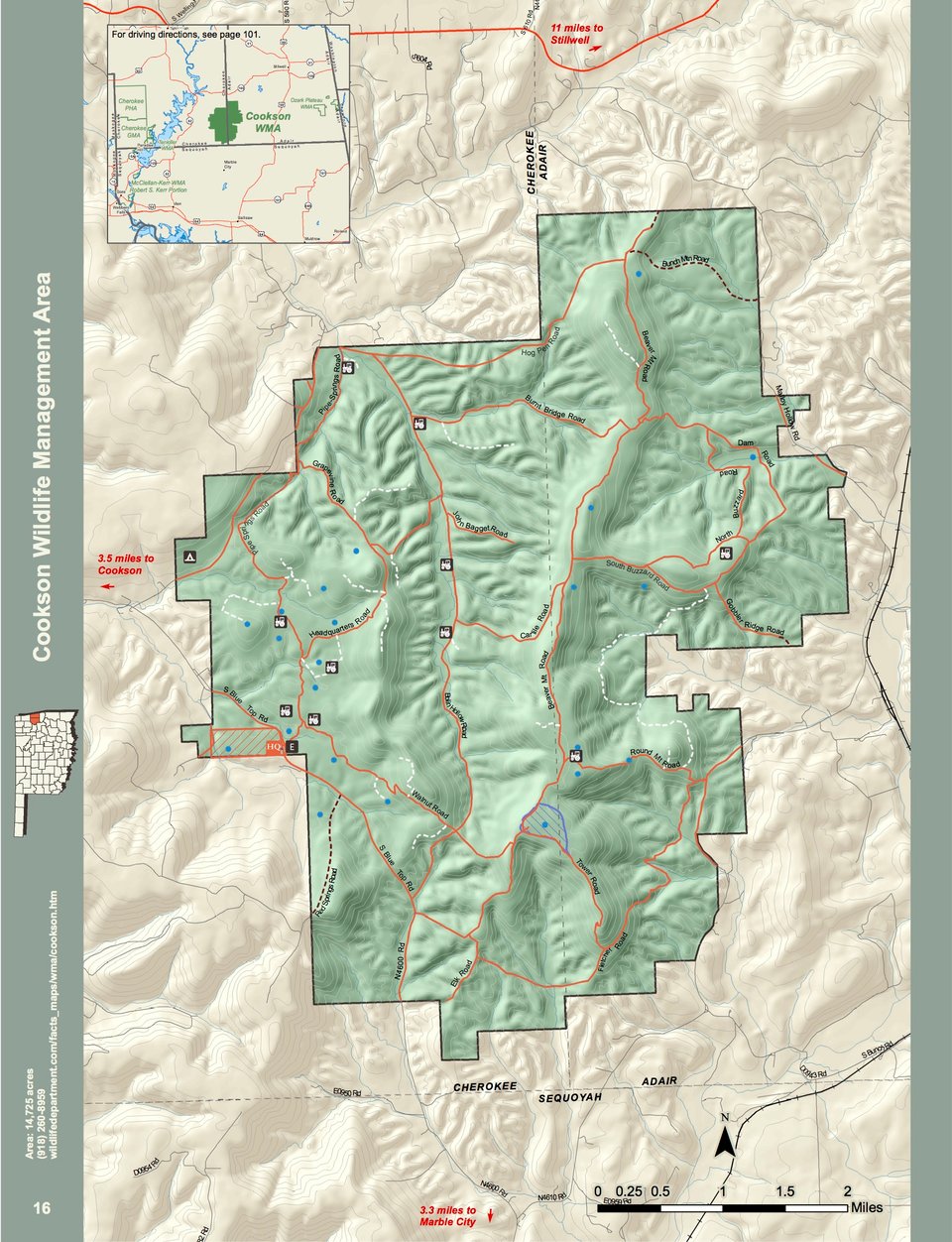
The Cookson WMA consists of approximately 14,725 acres in southeastern Cherokee and southwestern Adair Counties. Located approximately 6 miles east of Cookson on Bluetop Road.
The WMA is a mixture of uplands with scattered meadows and openings, found generally at lower elevations. Dense stands of oak-hickory timber with some short leaf pine on rolling, rocky, and relatively steep hills predominates the area. Fields and meadows with improved domestic grains, like clover and rye are found throughout. The average annual precipitation is about 41 inches.
The management area has some general public access, but is open mainly for controlled hunts. Consult regulations for area use restrictions.
Driving Directions: From Cookson: 5.2 miles east on Blue Top Road.