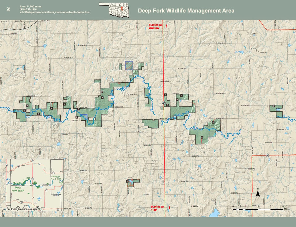
The Deep Fork Wildlife Management covers 11,900 acres in southern Creek and northern Okfuskee Counties. The area is a series of tracts of various sizes located along the Deep Fork of the Canadian River. While a large percentage of the area is forested bottom lands, it also has numerous old fields, native prairies, and post oak-blackjack timber. Annual rainfall averages 35 inches.
Driving Directions: From Bristow: 10 miles south on State Hwy 48. Numerous tracts and access points along the Deep Fork River.
From U.S. Interstate 40: Exit 217, 15 miles north on State Hwy 48.