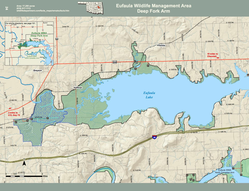
Eufaula WMA covers 48,614 acres in Latimer, McIntosh, Pittsburg and Okmulgee counties in east-central Oklahoma. A portion of that acreage is the Gaines Creek Arm. See also Eufaula - Gaines Creek Arm.
Driving Directions: Eufaula WMA is comprised mainly of flood plain and river bottoms with some upland components. The majority of the area is located on the upper reaches of river and creek arms of Eufaula lake. Mixed upland hardwood timber and openings of grass, brush and old fields dominate the upland sites. Bottom lands range from bottom land hardwood species, such as pin oaks, to dense river bottoms of willow and cottonwood. The WMA is host to a number of natural wetland areas and sloughs as well as about 780 acres of wetland units. Located on lands adjacent to Eufaula lake, 3 major rivers flow through portions of the area. These include the Deep Fork river, North Canadian river and South Canadian river. The average annual precipitation for the area is about 42 inches.