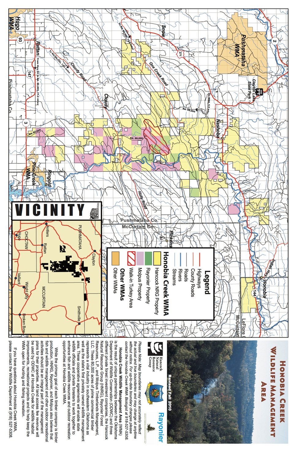
Honobia Creek WMA covers 101,620 acres in Pushmataha, Leflore and McCurtain counties in southeast Oklahoma. Located North of Hwy. 3/7 and East of Hwy. 271 (northeast of Antlers) and East of Hwy 259 and North of Hwy 4 (North and East of Smithville). Honobia Creek WMA is a mixture of pine and hardwood forests.
Loblolly pine plantations of various age classes predominate the majority of the WMA. Interspersed within the pine plantations are hardwood benches and streamside management zones dominated by oaks and hickories.
Honobia Creek and Three Rivers WMAs. A $40 annual land access permit is required of all residents who hunt or fish onHonobia Creek WMA. Nonresidents are required to purchase a $85 annual permit, no exemptions.
Oklahoma residents who are under 18 years of age on the first day of the current calendar year or are 64 years of age or older are exempt from permit requirements.
WMA Driving Directions: from Antlers, OK travel EAST on Highway 3 approximately 12 miles to Rattan, OK. From Rattan, travel NORTH on Cloudy Road 14.1 miles to Honobia Creek WMA boundary sign. From Broken Bow, OK drive 38.8 miles North on Hwy 259 to Hwy 4 East. Turn East onto Hwy 4 and drive ¾ mile then turn North onto Beachton Road and drive 2 miles to WMA.