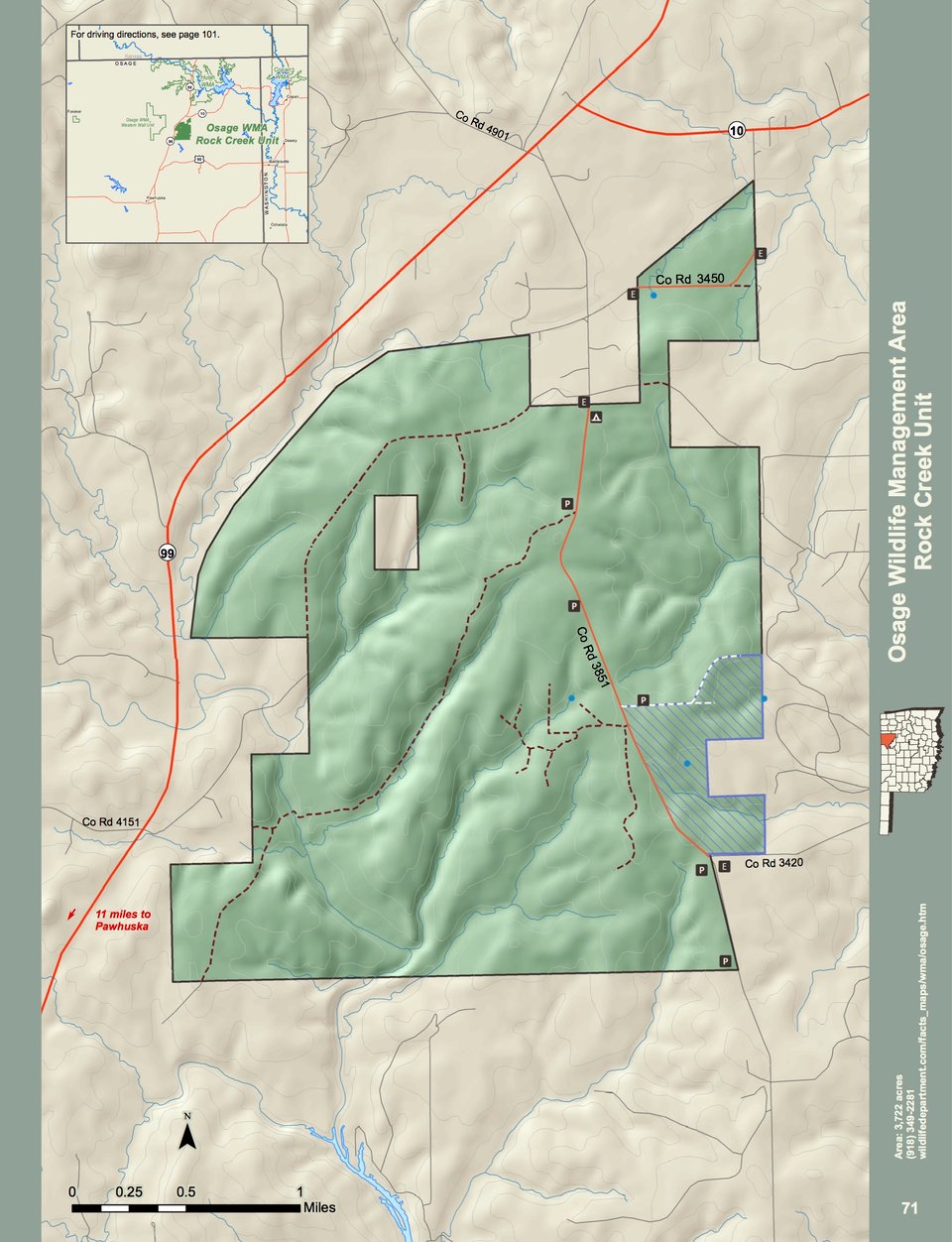
Osage WMA covers 9,512 acres of Osage county in northeast Oklahoma. The area is made up of two units, the Western Wall unit (5,950 acres) and the Rock Creek unit (3,722 acres) located north of Pawhuska, Okla.
Osage WMA is a mixture of cross-timbers, tall grass prairie and river bottom habitats.
Bottom land habitats occur along the Rock Creek, Pond Creek, and Mud Creek drainages. Upland sites are a mixture of tall grass prairie and post oak-blackjack ridges. The average annual precipitation for the area is about 40 inches.
WMA Driving Directions:
Osage WMA: Rock Creek: From Pawhuska: 15 miles north on State Hwy 99, 2 miles south on CR3851.
Osage WMA: Western Wall: From Pawhuska: 12 miles north on State Hwy 99, 4 miles west on CR4151, follow the signs.