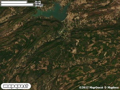
Pushmataha WMA covers 19,247 acres of northern Pushmataha County in the southeastern part of Oklahoma. Located approximately five miles south of Clayton, Pushmataha WMA is on the western fringe of the Ouachita mountain range and is comprised of a mixture of oak/pine forest and oak/pine savannahs with steep slopes, shallow soils and rocky terrain.
In areas where the canopy has been released, all four major prairie grasses exist with numerous forbs and native legumes. There have been over 650 varieties of native plants identified on the area. Some of the native tree species you will encounter are shortleaf pine, post oak, red oak, black oak, hickory, elm, blackgum, sweetgum, rusty blackhaw, flowering dogwood, and hawthorne. You will also encounter high bush huckleberry, low bush huckleberry, different varieties of sumac, coralberry, poison ivy, green brier, blackberry and many others. The average annual precipitation for the area is about 52 inches.
WMA Driving Directions:
From Clayton: From the intersection of State Hwy 2 and U.S. Hwy 271, 1.8 miles south on U.S. Hwy 271 (look for 4x8 ft. WMA sign), ½ mile west on Game Refuge Road, sign at the “T” in the road directs WMA visitors to the south (left), 3 miles to headquarters.