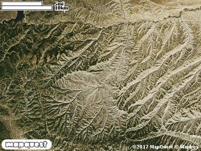
The Avintaquin Canyon Cooperative Wildlife Management Unit (CWMU) is located southeast of Duchesne, Utah about 30 km. The major feature of the CWMU is the Avintaquin Canyon and Avintaquin River. The Avintaquin River ranges from 6400 feet to 6800 feet on the unit. At 6800 feet the river splits into the West Fork Avintaquin River (6900 feet to 6800 feet) and the South Fork Avintaquin River (7100 feet to 6800 feet). Minnie Creek is another major drainage on the CWMU. Minnie Creek flows from the west to the east entering at 7100 feet and merging with the West Fork Avintaquin River at 6800 feet. On the Avintaquin Canyon CWMU 7300 feet is the most common elevation. However, elevation ranges from 6400 feet to 8400 feet, a difference of 2000 feet. Fifty-five percent (55%) of the unit’s elevation ranges from 6400 feet to 7300 feet, a difference of 900 feet.
The Colorado Plateau Pinyon-Juniper Woodland (36) is the most common cover type, nearly 50%. The only other cover type that takes up much area is the Inter-Mountain Basins Montane Sagebrush Steppe (62). Most of this cover type is on the west side of the unit. Together the pinyon-juniper woodland and the sagebrush steppe account for 70% of the cover.
One of the Avintaquin Canyon Cooperative Wildlife Mangement Unit (CWMU) nearest weather stations, SOLDIER SUMMIT (427959), is about 39.0 km from the edge of the CWMU in a southwest direction. SOLDIER SUMMIT has one hundred nine (109) years of records, 1893 - 2002. During the FALL (September, October and November) the average precipitation is 3.09 inches, but it can be as high as 7.56 inches or as low as 1.27 inches. During the 91-day FALL period, 16 days will experience greater than or equal to 0.01 inch of precipitation, 10 days of greater than or equal to 0.10 inch, or 1 day of the greater than or equal to 0.50 inch of precipitation. Snowfall during the FALL averages 14.3 inches but can be as high as 33.3inches. FALL temperature at SOLDIER SUMMIT averages 40.5degrees F. but can be as high as 95.0 degrees F. or as low as -20.0 degrees F. During the FALL, 71 days will be below freezing (32 degrees F.) and no days above 90 degrees F.