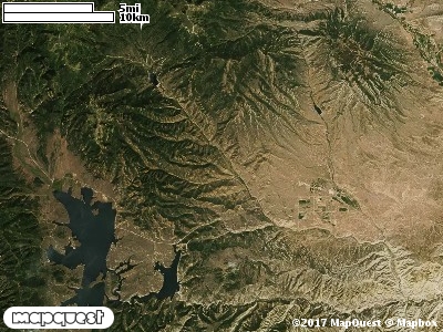
The Buckhorn Ranch Cooperative Wildlife Management Unit (CWMU) is located northwest of the Fruitland, Utah about five to six miles up Current Creek. Water Hollow nearly cuts the CWMU in half. Water Hollows flows from west to east, entering the unit at 7600 feet and leaving the unit at 6900 feet. Another important drainage is Dry Hollow north of Water Hollow. Like Water Hollow, Dry Hollow flows from west to east, entering the unit at 8400 feet and exiting the unit at about 6900 feet. The most common elevation is 7600 feet, but ranges from 6800 feet to 9200 feet, a difference of 2400 feet. Sixty-three percent (63%) of the CWMU elevations ranges between 7700 feet and 9200 feet an elevation difference of 1500 feet.
The cover type most common on the Buckhorn Ranch CWMU is Rocky Mountain Gambel Oak-Mixed Montane Shrubland (41). This cover type is distributed over much of the unit. Almost as common as the Gambel Oak-Mixed Montane Shrubland, is the Inter-Mountain Basins Montane Sagebrush Steppe (62) cover type. It too, is distributed over much of the unit. Add Rocky Mountain Aspen Forest and Woodland (22), Rocky Mountain Montane Mesic Mixed Conifer Forest and Woodland (32), and Colorado Plateau Pinyon-Juniper Woodland (36) and over ninety percent (91%) of the CWMU is covered.
One of the Buckhorn Ranch Cooperative Wildlife Mangement Unit (CWMU) nearest weather stations, FRUITLAND (423056), is about 9.0 km southeast from the southeast edge of the CWMU. FRUITLAND has fifty-six (56) years of records, 1910 - 1966. During the FALL (September, October and November) the average precipitation is 3.92 inches, but it can be as high as 7.89 inches or as low as 1.55 inches. During the 91-day FALL period, 15 days will experience greater than or equal to 0.01 inches of precipitation, 11 days of greater than or equal to 0.10 inches, or 2 day of the greater than or equal to 0.50 inches of precipitation. There is also 1 day with greater than or equal to 1.00 inch of precipitation. Snowfall during the FALL averages 7.9 inches but can be as high as 19.0inches. FALL temperature at FRUITLAND averages 43.9 degrees F. but can be as high as 86.0 degrees F. or as low as -8.0 degrees F. During the FALL, 56 days will be below freezing (32 degrees F.) and no day above 90 degrees F.