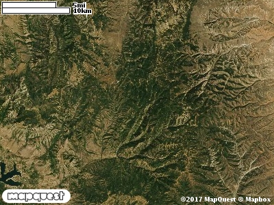
The Bastian Ranch Cooperative Wildlife Management Unit (CWMU) is west and north of Causey Reservoir. Beaver Creek and State Highway 39 forms the west boundary and Elk Ridge forms the east boundary. The Unit consists of a main ridge which is about 8000 feet in the north dropping to 6700 feet in the south before it drops into Water Hollow. From this main ridge the Unit drops into Beaver Creek (5600 feet to 6600 feet). On the eastside the unit drops in to Dry Bread Hollow (6000 feet to 7200 feet) before rising up to Elk Ridge (7600 feet to 7900 feet). The most common elevation is 6800 feet but ranges from 5500 feet to 7900 feet with an elevation difference of 2400 feet. Fifty-four percent (54%) of the CWMU elevation ranges between 6000 feet and 7300 feet an elevation difference of 1300 feet.There are three (3) main land cover types and one (1) land cover type that dominates the Bastian Ranch Cooperative Wildlife Management Unit (CWMU). First, there is the Rocky Mountain Aspen Forest and Woodland (22). Then there are the Inter-Mountain Basins Montane Sagebrush Steppe (62) and Rocky Mountain Gamble Oak-Mixed Montane Shrubland (41) in about equal amounts. In lesser amounts is Rocky Mountain Bigtooth Maple Ravine Woodland(23).One of the Bastian Ranch Cooperative Wildlife Mangement Unit (CWMU) nearest weather stations, HUNTSVILLE MONESTERY (424135), is about 11.0 km southwest from the southwest edge of the CWMU. HUNTSVILLE MONESTERY has thirty-one (31) years of records, 1976 - 2007. During the FALL (September, October and November) the average precipitation is 5.74 inches, but it can be as high as 12.30 inches or as low as 1.36 inches. During the 91-day FALL period, 22 days will experience greater than or equal to 0.01 inch of precipitation, 14 days of greater than or equal to 0.10 inch, or 3 days of the greater than or equal to 0.50 inch of precipitation. There can also be 1 day of greater than or equal to 1.00 inch precipitation. Total FALL snowfall averages 10.2 inches but can be as high as 31.0 inches. FALL temperature at HUNTSVILLE MONESTERY averages 46.0 degrees F. but can be as high as 95.0 degrees F. or as low as -16.0 degrees F. During the FALL, 56 days will be below freezing (32 degrees F.) and less than 1 day above 90 degrees F.