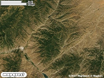
The Cedar Canyon Cooperative Wildlife Management Unit (CWMU) starts above the riparian area of Lost Creek at about 5600 feet. There is a rapid increase in elevation to start with, but it turns into a gentler slope as the unit rises to about 8000 feet along the Morgan-Summit Counties border. Cedar Canyon, Black Hawk Canyon and Hay Hollow all cut this CWMU mostly in an east-west direction creating steep relief. The most common elevation is 6700 feet but ranges from 5400 feet to 8100 feet with an elevation difference of 2700 feet. Fifty percent (50%) of the CWMU elevation ranges between 6200 feet and 7300 feet an elevation difference of 1100 feet.
Nearly forty percent (40%) of the Cedar Canyon Cooperative Wildlife Management Unit (CWMU) is Inter-Mountain Basins Montane Sagebrush Steppe (62). Another twenty-five (25%) is Rocky Mountain Aspen Forest and Woodland (22). Another Shrubland that contributes significantly is the Rocky Mountain Gambel Oak-Mixed Montane Shrubland (41). Inter-Mountain Basins Big Sagebrush Shrubland (48) contributes to the Shrubland character of the Unit. Rocky Mountain Bigtooth Maple Ravine Woodland (23) and Colorado Plateau Pinyon-Juniper Woodland add to the Forest and Woodland character of the Unit.One of the Cedar Canyon Cooperative Wildlife Mangement Unit (CWMU) nearest weather stations, ECHO DAM (422385), is about 11.7 km north from the north edge of the CWMU. ECHO DAM has sixty-seven (67) years of records, 1940 - 2007. During the FALL (September, October and November) the average precipitation is 3.88 inches, but it can be as high as 10.59 inches or as low as 0.47 inch. During the 91-day FALL period, 21 days will experience greater than or equal to 0.01 inch of precipitation, 11 days of greater than or equal to 0.10 inch, or 2 days of the greater than or equal to 0.50 inch of precipitation. Snowfall during the FALL averages 12.1 inches but can be as high as 41.5 inches. FALL temperature at ECHO DAM averages 46.5 degrees F. but can be as high as 97.0 degrees F. or as low as -21.0 degrees F. During the FALL, 54 days will be below freezing (32 degrees F.) and 3 days above 90 degrees F.