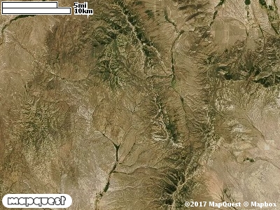
Cotton Thomas Cooperative Wildlife Management Unit (CWMU) is two (2) km north of Grouse Creek Valley. The Goose Creek Mountains running north and south form the backbone of this unit. Elevation on this backbone ranges from 8100 feet in the north to 6500 feet in the south. On the northeast boundary, Basin Creek ranges from 6500 feet to 6300 feet. Further south, First Creek running northwest to southeast ranges from 7200 feet to 6500 feet. Finally, Quaking Aspen Creek running the same direction as First Creek ranges between 6800 feet and 5800 feet. The elevation ranges between 5700 feet and 8200 feet on the Cotton Thomas CWMU, a difference of 2500 feet. The most common elevation is 6600 feet.
On the Cotton Thomas Cooperative Wildlife Management Unit (CWMU) the land cover is dominated by Inter-Mountain Basins Montane Sagebrush Steppe (62), sixty-three percent (63%); Inter-Mountain Basins Big Sagebrush Shrubland (48), eighteen percent (18%); Great Basin Pinyon-Juniper Woodland (37), eight percent (8%) and Great Basin Xeric Mixed Sagebrush Shrubland (49), five percent (5%).
One of the Cotton Junction Cooperative Wildlife Mangement Unit (CWMU) nearest weather stations, Grouse Creek (423486), is about 9.3 km north from the north edge of the CWMU. Grouse Creek has 49 years of records, 1959–2008. During the Fall (September, October and November) the average percipitation is 2.25 inches, but it can be as high as 4.42 inches or as low as 0.60 inch. During the 91-day Fall period, 16 days will experience greater than or equal to 0.01 inch of percipitation, 7 days of greater than or equal to 0.10 inch, or 1 day of the greater than or equal to 0.50 inch of percipitation. Snowfall during the Fall averages 3.6 inches but can be as high as 21.0 inches. Fall temperature at Grouse Creek averages 46.0°F. but can be as high as 97.0°F. or as low as -12.0°F. During the Fall, 54 days will be below freezing (32°F.) and 1 day above 90°F.