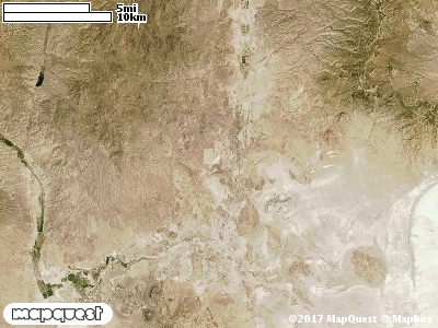
The Double Cone Cooperative Wildlife Management (CWMU) rests on the Utah - Nevada border in Box Elder County. The Double Cone CWMU is a Basin and Range Unit. It highest point is on the Nevada border (about 7200 feet). To the north this drops away to 6000 feet and to the south it also drops away to 6000 feet also. The eastside decrease to 5500 feet in the south and is about 6000 feet in the north. Typical of Basin and Range terrain there is generally an almost flat basin with small and large hills rising from off the basin. The most common elevation is 5600 feet but ranges from 5200 feet to 7200 feet with an elevation difference of 2000 feet. Fifty-two percent (52%) of the CWMU elevation ranges between 5600 feet and 6800 feet an elevation difference of 1200 feet.The Double Cone Cooperative Wildlife Management Unit is composed mostly of three (3) landcover types. First, about fifty percent (50%) of the land cover is Great Basin Pinyon-Juniper (37), second, about thirty-five (35%) is Inter-Mountain Basins Big Sagebrush Shrubland (48), and third, there are four (4) land patches of the Agriculture (114) land cover.One of the Double Cone Cooperative Wildlife Mangement Unit (CWMU) nearest weather stations, GROUSE CREEK (423486), is about 9.1 km east from the east edge of the CWMU. GROUSE CREEK has forty-nine (49) years of records, 1959 - 2008. During the FALL (September, October and November) the average precipitation is 2.25 inches, but it can be as high as 4.42 inches or as low as 0.60 inch. During the 91-day FALL period, 16 days will experience greater than or equal to 0.01 inch of precipitation, 7 days of greater than or equal to 0.10 inch, or 1 day of the greater than or equal to 0.50 inch of precipitation. Snowfall during the FALL averages 3.6 inches but can be as high as 21.0 inches. FALL temperature at GROUSE CREEK averages 46.0 degrees F. but can be as high as 97.0 degrees F. or as low as -12.0 degrees F. During the FALL, 54 days will be below freezing (32 degrees F.) and 1 day above 90 degrees F.