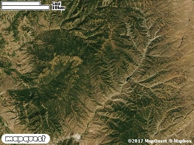
The Guildersleeve Cooperative Wildlife Management Unit (CWMU) is located west of Lost Creek Reservoir. Guildersleeve Canyon splits the CWMU into an east and west sides. Guildersleeve ranges from 7000 feet in the north to 5800 feet in the south. The eastside of Guildersleeve Canyon rises up to 8000 feet in the north and decreases to 6900 feet in the south. Similarily, the westside rises up to 8000 feet in the north then decreases to 6800 feet in the south. The most common elevation is 6500 feet but ranges from 5700 feet to 8000 feet with an elevation difference of 2300 feet. Fifty percent (50%) of the CWMU elevation ranges between 6500 feet and 7200 feet an elevation difference of 700 feet.
On the Guildersleeve Cooperative Wildlife Management Unit (CWMU) over fifty percent of the Unit is covered with Inter-Mountain Basins Montane Sagebrush Steppe (62). This Sagebrush Steppe is interspersed with small to large patches of Rocky Mountain Aspen Forest and Woodland (22) and Rocky Mountain Gambel Oak-Mixed Montane Shrubland (41). There are some smaller patches of Rocky Mountain Bigtooth Maple Ravine Woodland (23).One of the Guildersleeve Cooperative Wildlife Mangement Unit (CWMU) nearest weather stations, MORGAN (425826), is about 17.2 km southwest from the southwest edge of the CWMU. MORGAN has fifty-six (56) years of records, 1952 - 2008. During the FALL (September, October and November) the average precipitation is 3.80 inches, but it can be as high as 7.28 inches or as low as 0.46 inch. During the 91-day FALL period, 18 days will experience greater than or equal to 0.01 inch of precipitation, 11 days of greater than or equal to 0.10 inch, or 2 days of the greater than or equal to 0.50 inch of precipitation. Snowfall during the FALL averages 7.3 inches but can be as high as 25.3 inches. FALL temperature at MORGAN averages 46.9 degrees F. but can be as high as 98.0 degrees F. or as low as -12.0 degrees F. During the FALL, 53 days will be below freezing (32 degrees F.) and 1days above 90 degrees F.