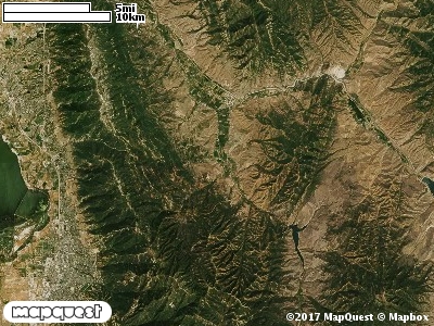
NOTE:h DIFFICULT HUNT, HORSES ARE RECOMMENDED. The Hardscrabble Cooperative Wildlife Management Unit (CWMU) is east of East Canyon Reservoir and southwest of Porterville, Utah. The Unit highpoint is around 8000 feet. This highpoint is in the southeast part of the unit. The elevation in the north decreases to 6000 feet, in the south it decreases to 7600 feet, in the west 6600 feet and in the east 5800 feet. Hardscrabble Creek divides this Unit starting at 7600 feet in the south, then exiting the Unit in the northeast corner at 5400 feet. The most common elevation is 6600 feet but ranges from 5400 feet to 9300 feet with an elevation difference of 3900 feet. Fifty-one percent (51%) of the CWMU elevation ranges between 6700 feet and 8100 feet an elevation difference of 1400 feet.Rocky Mountain Gambel Oak-Mixed Montane Shrubland (41) is the dominant land cover type on the Hardscrabble Cooperative Wildlife Management Units (CWMU). This Shrubland is more dominant in the central and north parts of the Unit, than in the south. Rocky Mountain Aspen Forest and Woodland (22) is also a prominent feature of the Unit scattered through the shrubland. There are patches of Inter-Mountain Basins Montane Sagebrush Steppe (62) scattered on the Unit. Rocky Mountain Montane Dry-Mesic Mixed Conifer Forest and Woodland (30), Rocky Mountain Montane Mesic Mixed Conifer Forest and Woodland (32), and Rocky Mountain Bigtooth Maple Ravine Woodland (23) add to the Forest and Woodland character of the Unit.
One of the Hardscrabble Cooperative Wildlife Mangement Unit (CWMU) nearest weather stations, CITY CREEK (421446), is about 6.2 km southwest from the southwest edge of the CWMU. CITY CREEK has fifty-three (53) years of records, 1955 - 2008. During the FALL (September, October and November) the average precipitation is 6.94 inches, but it can be as high as 10.80 inches or as low as 2.38 inch. During the 91-day FALL period, 24 days will experience greater than or equal to 0.01 inch of precipitation, 14 days of greater than or equal to 0.10 inch, or 5 days of the greater than or equal to 0.50 inch of precipitation. There is also 1 day where the precipitation and be greater than or equal to 1.00 inch. Snowfall during the FALL averages 18.6 inches but can be as high as 56.0 inches. FALL temperature at CITY CREEK averages 49.9 degrees F. but can be as high as 92.0 degrees F. or as low as 2.0 degrees F. During the FALL, 34 days will be below freezing (32 degrees F.) and no days above 90 degrees F.