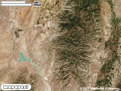
The Heartland West Cooperative Wildlife Management Unit (CWMU) is located northwest of Manti, Utah on the San Ptich Mountains. Big Baldy at 8700 feet is the high point of the Unit. From Big Baldy the elevation decreases to 8100 feet in the north and in the south. From the east to the west Chriss Creek and Chriss Canyon cut this Unit. Chriss Creek ranges from 7800 feet in the east to 5600 feet in the west where it exits the Unit. Part of Little Salt Creek forms the north border ranging from 8000 to 6800 feet, east to west. In the south there are several creeks the cut the Unit in a north to south direction. On the west there is Maple Creek that ranges from 6300 feet to 7600 feet. In the middle is Maple Canyon ranging from 6900 feet to 7800 feet; and finally, on the east Timber Canyon ranging form 7300 feet to 8000 feet. The most common elevation is 7700 feet but ranges from 5700 feet to 8700 feet with an elevation difference of 3000 feet. Fifty-two (52%) of the CWMU elevation ranges between 6600 feet and 7700 feet an elevation difference of 1100 feet.On the Heartland West Cooperative Wildlife Management Unit (CWMU) Rocky Mountain Gambel
Oak-Mixed Montane Shrubland (41) is the dominant land cover type. The second most dominant land cover is Colorado Plateau Pinyon-Juniper Woodland (36). Inter-Mountain Basins Montane Sagebrush Steppe (62), Rocky Mountain Aspen Forest and Woodland (22), and Rocky Mountain Montane Dry-Mesic Mixed Conifer Forest and Woodland (30) all occur in large patches in the middle and eastern parts of the Unit.One of the Heartland West Cooperative Wildlife Mangement Unit (CWMU) nearest weather stations, MANTI (425402), is about 12.3 km southeast from the southeast edge of the CWMU. MANTI has one hundred fifteen (115) years of records, 1893 - 2008. During the FALL (September, October and November) the average precipitation is 3.33 inches, but it can be as high as 6.62 inches or as low as 1.16 inches. During the 91-day FALL period, 15 days will experience greater than or equal to 0.01 inch of precipitation, 9 days of greater than or equal to 0.10 inches, or 2 days of the greater than or equal to 0.50 inches of precipitation. Snowfall during the FALL averages 7.2 inches but can be as high as 29.5 inches. FALL temperature at MANTI averages 48.5 degrees F. but can be as high as 100.0 degrees F. or as low as -8.0 degrees F. During the FALL, 43 days will be below freezing (32 degrees F.) and 1 day above 90 degrees F.