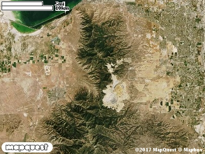
Except for the north part, all of the Heaston Cooperative Wildlife Management Unit (CWMU) is located on the eastside of the Tooele - Salt Lake County boundary on the eastside of the Oquirrh Mountains, west of south Salt Lake City. The Unit includes the Bingham Copper Mine. The high point of the Unit is Nelson Peak at 9300 feet. Nelson Peak drops in elevation in the north to 7700 feet, to 9000 feet on West Mountain on the Unit. Butterfield Canyon forms the south boundary of the Unit ranging from 8200 feet to 6000 feet elevation. Of course Bingham Canyon melts into the cooper mine. Harkers canyon cuts the Unit ranging from 4800 feet to 7900 feet. Farther north Little Valley Wash cuts the Unit ranging from 4300 feet to 6200 feet elevation. On the north part, Black Rock Canyon, 4300 feet to 7400 feet is the major canyon. The most common elevation is 5200 feet but ranges from 4300 feet to 9300 feet with an elevation difference of 5000 feet. Fifty-one percent (51%) of the CWMU elevation ranges between 5000 feet and 6400 feet an elevation difference of 1400 feet.
The Heaston Cooperative Wildlife Management Unit (CWMU) is dominated by Rocky Mountain Gambel Oak-Mixed Montane Shrubland (41), but about the same amount is taken up in the south end of the Unit by Recently Mined or Quarried (117). Another major land cover on the north end and east edge is Great Basin Pinyon-Juniper Woodland (37). Inter-Mountain Basins Big Sagebrush Shrubland (48) also contributes to the land cover on the east side. There are
large patches of Developed, Open Space - Low Intensity land cover on the northeast and scattered throughout the Unit.
One of the Heaston East Cooperative Wildlife Mangement Unit (CWMU) nearest weather stations, GARFIELD (423097), is on the north edge of the CWMU. GARFIELD has one hundred fifteen (115) years of records, 1893 - 2008. During the FALL (September, October and November) the average precipitation is 4.79 inches, but it can be as high as 9.01 inches or as low as 2.07 inches. During the 91-day FALL period, 19 days will experience greater than or equal to 0.01 inch of precipitation, 11 days of greater than or equal to 0.10 inch, or 3 days of the greater than or equal to 0.50 inch of precipitation. There is also 1 day where precipitation can be greater than or equal to 1.00 inch. Snowfall during the FALL averages 3.0 inches but can be as high as 13.8 inches. FALL temperature at GARFIELD averages 64.0 degrees F. but can be as high as 98.0 degrees F. or as low as 3.0 degrees F. During the FALL, 13 days will be below freezing (32 degrees F.) and 4 day above 90 degrees F.