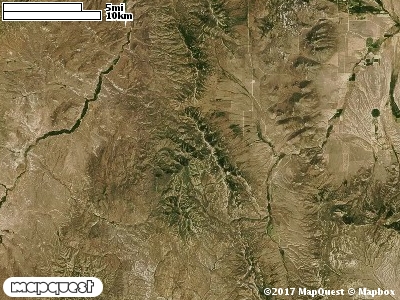
The Junction Valley Cooperative Wildlife Management Unit (CWMU) is located about sixteen (16) km west of Yost, Utah, Box Elder County. The east side of the CWMU is in Junction Valley and extends west to Holt Basin and Cotton Thomas Basin on the Goose Creek Mountains. Granite Pass is almost the northern boundary. Higher elevations range from 6900 feet in the north to a maximum of 8500 feet then decreases to 7800 feet in the south. The major drainage across the unit is Basin Creek ranging from 7000 feet to 5900 feet. Basin Creek flows into the South Fork of Junction Creek in Junction Valley. Two (2) tributaries flow into Basin Creek on the unit, Tom Sherry Creek, ranging from 7000 to 6600 feet and Mahogany Creek, ranging from 7600 to 6500 feet. In the north Pine Creek (7000 to 6300 feet), Short Creek (7000 to 5900 feet) ,and Long Creek (7400 to 6000 feet) cut the unit. Technically, elevation ranges from about 8700 feet to 5700 feet, a difference of 3000 feet. The most common elevation is 6700 feet.
On the Junction Valley Cooperative Wildlife Management Unit (CWMU), the land cover is composed mostly of Inter-Mountain Basins Montane Sagebrush Steppe (62), sixty-eight percent (68%); Inter-Mountain Basins Big Sagebrush Shrubland (48), ten percent (10%); Great Basin Foothill and Lower Montane Riparian Woodland and Shrubland (98), five percent (5%); Rocky Mountain Aspen Forest and Woodland (22), five percent (5%) and Agriculture (114), five percent (5%).One of the Junction Valley Cooperative Wildlife Mangement Unit (CWMU) nearest weather stations, GROUSE CREEK (423486), is about 13 km southwest from the south edge of the CWMU. GROUSE CREEK has forth-nine (49) years of records, 1959 - 2008. During the FALL (September, October and November) the average precipitation is 2.25 inches, but it can be as high as 4.42 inches or as low as 0.60 inch. During the 91-day FALL period, 16 days will experience greater than or equal to 0.01 inch of precipitation, 7 days of greater than or equal to 0.10 inch, or 1 day of the greater than or equal to 0.50 inch of precipitation. Snowfall during the FALL averages 3.6 inches but can be as high as 21.0 inches. FALL temperature at GROUSE CREEK averages 46.0 degrees F. but can be as high as 97.0 degrees F. or as low as -12.0 degrees F. During the FALL, 54 days will be below freezing (32 degrees F.) and 1 day above 90 degrees F.