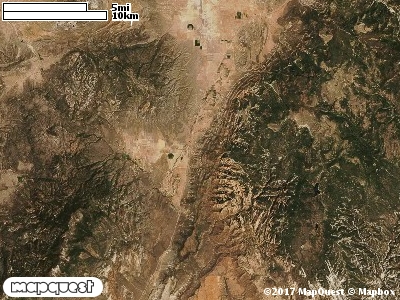
The majority of the hunting or the best hunting is done from a tree stand or ground blind. The New Harmony CWMU is located 12.4 km in an southwest direction from Kanarraville. This 5,092 acre CWMU is cut on the eastside by I-15. Kanarra Creek cuts the unit near the middle entering at 5000 ft and leaving at about 4950 feet. On the westside of the unit is Ash Creek. Ash Creek enters the CWMU at 5100 ft and leaves the unit at 5000 feet.
On the New Harmony CWMU 5000 feet is the most common elevation. However, the elevation ranges from 4900 feet to 6000 feet, a difference of 1100 feet. Fifty-nine percent (59%) of the unit’s elevation ranges from 5400 feet to 6000 feet, a difference of 600 feet.
Great Basin Pinyon-Juniper Woodland (37) is the most common land cover type, over 40%. Agriculture is another land cover type that is prominent, it is mostly in the northern part of the unit. Both invasive annual (121) and invasive perennial (122) grassland surround the development that borders the CWMU. Pinyon-Juniper Woodland, Agriculture, invasive plus Greasewood Scrub (119) account for about 90% of the land cover on the Unit.
One of the New Harmony Cooperative Wildlife Management Unit (CWMU) nearest weather stations, New Harmony (426181), is about 3.4 km from the edge of the CWMU in a northwest direction. NEW HARMONY has eighty-three (99) years of records, 1911 - 2010. During the FALL (September, October and November) the average precipitation is 4.17 inches, but it can be as high as 15.61 inches or as low as 0.17 inch. During the 91-day FALL period, 11 days will experience greater than or equal to 0.01 inch of precipitation, 10 days of greater than or equal to 0.10 inch, or 3 days of the greater than or equal to 0.50 inch of precipitation. There can also be 1 day of greater than or equal to 1.00 inch of precipitation. Total FALL snowfall averages 2.5 inches but can be as high as 21.5 inches. FALL temperature at NEW HARMONY averages 53.2 degrees F. but can be as high as 67.7 degrees F. or as low as 38.7 degrees F. During the FALL, 28 days will be below freezing (32 degrees F.) and more than 1 day above 90 degrees F.