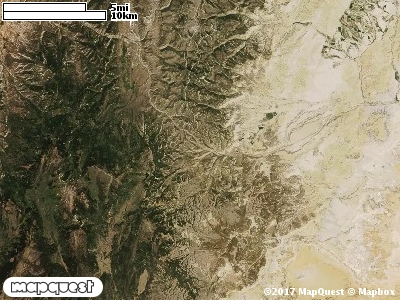
The Old Woman Plateau Cooperative Wildlife Management Unit (CWMU) is located east of the junction between Salina Creek and Meadow up Salina Creek. There are really three parts to this CWMU. The north part has high elevations of 8600 feet in the south and 8400 feet in the north. Spring Canyon is the major drainage ranging from 7600 feet to 8400 feet. There are four (4) small parts (7400 feet to 7800 feet) of the Unit up the South Fork of Rock Canyon and Saddle Horse Canyon. Southeast of these four parcels over Emigrant Pass (7800 feet) is the south part of the Unit. The high point on this south part is 8200 feet. Coal Mine Creek, 7600 feet to 8100 feet, cuts the south part of this Unit on the westside. Mill Hollow, 7000 feet to 8200 feet, cuts the northeast corner of this south part. The most common elevation is 8100 feet but ranges from 6900 feet to 8800 feet with an elevation difference of 1900 feet. Fifty-six percent (56%) of the CWMU elevation ranges between 7600 feet and 8200 feet an elevation difference of 600 feet.The majority of the Old Woman Plateau Cooperative Wildlife Management Unit (CWMU) is composed of Inter-Mountain Basins Montane Sagebrush Steppe (62). Colorado Plateau Pinyon-Juniper Woodland (36) is another common land cover type. Rocky Mountain Gambel Oak-Mixed Montane Shrubland (41) and Rocky Mountain Aspen Forest and Woodland (22) complete the dominant land cover mix.One of the Old Woman Plateau Ranch Cooperative Wildlife Mangement Unit (CWMU) nearest weather stations, SALINA (427557), is about 4.6 km northeast from the northeast edge of the CWMU. SALINA has thirty-one (74) years of records, 1923 - 2007. During the FALL (September, October and November) the average precipitation is 2.48 inches, but it can be as high as 6.67 inches or as low as 0.43 inch. During the 91-day FALL period, 12 days will experience greater than or equal to 0.01 inch of precipitation, 8 days of greater than or equal to 0.10 inch, or 1 day of the greater than or equal to 0.50 inch of precipitation. Total FALL snowfall averages 2.8 inches but can be as high as 18.0 inches. FALL temperature at SALINA averages 49.9 degrees F. but can be as high as 102.0 degrees F. or as low as -8.0 degrees F. During the FALL, 48 days will be below freezing (32 degrees F.) and less than 4 days above 90 degrees F.