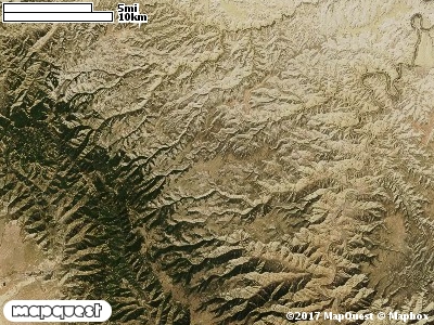
The Preston Nutter Cooperative Wildlife Management Unit (CWMU) is located northeast of Sunnyside, Utah. Higher elevations range from 9700 feet in the south to 9800 feet in the north. Then in the northwest corner elevation reaches 10000 feet. Range Creek cuts this high area, ranging from 9200 feet to 9900 feet. Cottonwood Canyon moving from west to east ranges from 9400 feet to 8000 feet, Jack Creek in like manner ranges from 9600 to 8100 feet. Flat Canyon (7300 feet to 9600 feet) and Summer-house Canyon (7400 feet to 9000 feet), also cut the Unit on the eastside. The most common elevation is 8600 feet but ranges from 6800 feet to 10000 feet with an elevation difference of 3200 feet. Fifty-five percent (55%) of the CWMU elevation ranges between 7900 feet and 9000 feet an elevation difference of 1100 feet.Almost half of the Preston Nutter Ranch Cooperative Wildlife Management Unit is covered by Inter-Mountain Basins Montane Sagebrush Steppe (62). This Sagebrush Steppe is confined to to the westside of the unit. A quarter of the unit is covered by Rocky Mountain Aspen Forest and Woodland (22), and is dominant on the west side of the unit. The final quarter of the unit is covered with a combination Forest, Woodland, Pinyon-Juniper, and Grassland, Rocky Mountain Subalpine Mesic Spruce-Fir Forest and Woodland (28), Colorado Plateau Pinyon-Jiniper Woodland (36), Rocky Mountain Subapline Dry-Mesic Spruce-Fir Forest and Woodland, and Southern Rocky Mountain Montane-subalpine Grassland (71).One of the Preston Nutter Ranch Cooperative Wildlife Mangement Unit (CWMU) nearest weather stations, SUNNYSIDE (428474), is 7.2 km southwest of the southwest edge of the CWMU. SUNNYSIDE has eighty-three (83) years of records, 1905 - 1988. During the FALL (September, October and November) the average precipitation is 4.13 inches, but it can be as high as 7.39 inches or as low as 1.66 inches. During the 91-day FALL period, 14 days will experience greater than or equal to 0.01 inch of precipitation, 9 days of greater than or equal to 0.10 inch, or 2 days of the greater than or equal to 0.50 inch of precipitation. There can also be 1 day with precipitation greater than or equal to 1.00 inch. Snowfall during the FALL averages 12.6 inches but can be as high as 31.0 inches. FALL temperature at SUNNYSIDE averages 49.2 degrees F. but can be as high as 89.0 degrees F. or as low as 8.0 degrees F. During the FALL, 30 days will be below freezing (32 degrees F.) and no day above 90 degrees F.