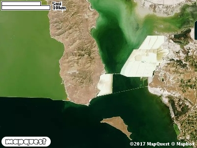
The Promontory Point Cooperative Wildlife Management Unit (CWMU) is located on the very south end of the Promontory Mountains,
three sides of the Unit are surrounded by the Great Salt Lake. The Promontory Mountains start at
5500 feet elevation in the south, then drop into Little Valley, 5000 feet elevation. Then increase
to 6800 feet before decreasing again. On the eastside the Promontory Mountains are cut by
Maple canyon, 4200 feet to 5000 feet and Cellar Canyon, 4200 feet to 5400 feet elevation. On
the west side. Long Canyon, 4200 feet to 6200 feet; and Brushy Canyon, 5400 feet to 5800 feet,
cut the mountains. The most common elevation is 4300 feet but ranges from 4200 feet to 7000 feet with an elevation difference of 2800 feet. Fifty-three percent (53%) of the CWMU elevation ranges between 4900 feet and 6300 feet an elevation difference of 1400 feet.
Over seventy percent of the Promontory Point Cooperative Wildlife Management Unit (CWMU)
is a combination of Inter-Mountain Basins Big Sagebrush Shrubland (48), Great Basin Pinyon-
Juniper (37), and Invasive Annual Grassland (121). Invasive Annual Grasslands and Big
Sage-brush Shrubland and at the lower elevations, and Pinyon-Juniper are at the higher
elevations. There are areas of Inter-Mountain Basins Semi-Desert Grassland (76) and areas of
Invasive Annual and Biennial Forbland (122). Nearer the Great Salt Lake are areas of Inter-
Mountain Basins Greasewood Flat and Great Basin Xeric Mixed Sagebrush Shrubland (49).
In the middle of the unit is an area of Recently Mined or Quarried land cover.
One of the Promontory Point Cooperative Wildlife Mangement Unit (CWMU) nearest weather stations, BEAR RIVER BAY (420490), is 10.0 km east of the east edge of the CWMU. BEAR RIVER BAY has twenty-seven (27) years of records, 1969 - 1996. During the FALL (September, October and November) the average precipitation is 3.95 inches, but it can be as high as 9.13 inches or as low as 1.61 inches. During the 91-day FALL period, 21 days will experience greater than or equal to 0.01 inch of precipitation, 10 days of greater than or equal to 0.10 inch, or 2 days of the greater than or equal to 0.50 inch of precipitation. Snowfall during the FALL averages less than an inch. FALL temperature at BEAR RIVER BAY averages 51.8degrees F. but can be as high as 94.0 degrees F. or as low as 10.0 degrees F. During the FALL, 17 days will be below freezing (32 degrees F.) and 1 day above 90 degrees F.