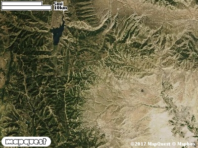
The Scofield East Cooperative Wildlife Management Unit (CWMU) is located southeast of Scofield Reservoir. There are two ridge systems that run north and south on the Unit that form the higher elevations. On the west these elevations range from 8900 feet in the north to 9000 feet in the south. Towards the east the elevations range from 9200 feet in the north to 9500 feet in the south. The Unit is cut by five drainages. On the westside is the Up Canyon a short canyon ranging from 7700 feet to 8400 feet. Long Canyon is probably the longest canyon that cuts the Unit. It ranges from 7800 feet to 8900 feet. Miller Canyon (7800 feet to 8800 feet), Jump Creek ( 8600 feet to 9200 feet) and Beaver Creek (8300 feet to 8800) feet are additional drainages that cut the Unit. The most common elevation is 9000 feet but ranges from 7500 feet to 9500 feet with an elevation difference of 2000 feet. Fifty-seven percent (57%) of the CWMU elevation ranges between 8100 feet and 8900 feet an elevation difference of 800 feet.Most of the Scofield East Cooperative Wildlife Management Unit (CWMU) is covered by a mixture of Rocky Mountain Aspen Forest and Woodland (22) and Inter-Mountain Basins Montane Sagebrush Steppe (62).One of the Scofield East Cooperative Wildlife Mangement Unit (CWMU) nearest weather stations, SCOFIELD DAM (427724), is 0.2 km north of the north edge of the CWMU. SCOFIELD DAM has forty-three (43) years of records, 1948 - 1991. During the FALL (September, October and November) the average precipitation is 3.48 inches, but it can be as high as 6.98 inches or as low as 0.76 inch. During the 91-day FALL period, 17 days will experience greater than or equal to 0.01 inch of precipitation, 10 days of greater than or equal to 0.10 inch, or 2 days of the greater than or equal to 0.50 inch of precipitation. Snowfall during the FALL averages 17.2 inches but can be as high as 61.5 inches. FALL temperature at SCOFIELD DAM averages 40.0 degrees F. but can be as high as 86.0 degrees F. or as low as -22.0 degrees F. During the FALL, 67 days will be below freezing (32 degrees F.) and no days above 90 degrees F.