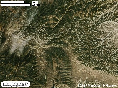
The Soldier Summit Cooperative Wildlife Management Unit (CWMU) extends from Gilluly, Utah to Soldier Summit, down to Colton along State Highway 6. The Unit includes land on both sides the Highway 6 with most of it to the south of this highway. Higher elevations range from 8200 feet to 8400 feet in the north. On the eastside of Soldier Summit the White River ranges from 7100 feet to 7400 feet elevation. On the west Soldier Creek ranges from 6500 feet to 8100 feet. In the southeast there are several drainages ranging from 7200 feet to 8700 feet elevation. Davidson Canyon is a major drainage in the northwest, 7100 feet to 8400 feet elevation. The most common elevation is 7400 feet but ranges from 6700 feet to 9000 feet with an elevation difference of 2300 feet. Fifty percent (50%) of the CWMU elevation ranges between 7500 feet and 8300 feet an elevation difference of 800 feet. Inter-Mountain Basins Montane Sagebrush Steppe (62) is the dominant land cover type on the
Soldier Summit Cooperative Wildlife Management Unit (CWMU). Intermixed and dominant in some areas are Rocky Mountain Aspen Forest and Woodland (22) and Rocky Mountain Gambel Oak-Mixed Montane Shrubland (41). Patches of Colorado Plateau Pinyon-Juniper
Woodland (36) and Rocky Mountain Montane Dry-Mesic Mixed Conifer Forest and Woodland (30) add to the Forest and Woodland character of the Unit, while Inter-Mountain Basins Big Sagebrush Shrubland adds to the Shrubland character of the Unit.One of the Soldier Summit Cooperative Wildlife Mangement Unit (CWMU) nearest weather stations, SOLDIER SUMMIT (427959), is about 0.25 km from the edge of the CWMU in the middle. SOLDIER SUMMIT has one hundred nine (109) years of records, 1893 - 2002. During the FALL (September, October and November) the average precipitation is 3.09 inches, but it can be as high as 7.56 inches or as low as 1.27 inches. During the 91-day FALL period, 16 days will experience greater than or equal to 0.01 inch of precipitation, 10 days of greater than or equal to 0.10 inch, or 1 day of the greater than or equal to 0.50 inch of precipitation. Snowfall during the FALL averages 14.3 inches but can be as high as 33.3inches. FALL temperature at SOLDIER SUMMIT averages 40.5degrees F. but can be as high as 95.0 degrees F. or as low as -20.0 degrees F. During the FALL, 71 days will be below freezing (32 degrees F.) and no days above 90 degrees F.