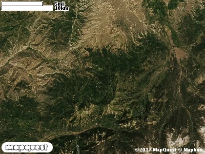
The Stillman Creek Ranch Cooperative Wildlife Management Unit (CWMU) is located about sixteen (16) km northeast of Oakley, Utah up the Weber River. Higher elevation range from 10000 feet in the north to 8800 feet in the south. Stillman Creek is the major drainage that cuts this unit. Stillman Creek ranges in elevation from 10000 feet to 7200 feet. The elevation on the Stillman Creek Range CWMU ranges from 7200 feet to 10400 feet, a difference of 3200 feet. The most common elevation on the CWMU is 9000 feet.
Nearly fifty percent of the Stillman Creek Ranch Cooperative Wildlife Management Unit (CWMU)is Rocky Mountain Aspen Forest and Woodland (22). Scattered throughout this Aspen Forest
and Woodland are large patches of Inter-Mountain Basins Montane Sagebrush Steppe (62). Towards the northeast corner is a large area of Rocky Mountain Alpine Bedrock and Scree (2). Besides the Aspen Forest and Woodland, Rocky Mountain Bigtooth Maple Ravine Woodland (23), Rocky Mountain Subalpine Dry-Mesic Spruce-fir Forest and Woodland (26), and Rocky Mountain Subalpine Mesic Spruce-Fir Forest and Woodland (28) add to the Forest and Woodland character
of the Unit. Minor amounts of the Rocky Mountain Subalpine Mesic Meadow (70) and Rocky Mountain Alpine-Montane Wet Meadow (86) are distributed throughout the Forest and Woodland.
One of the Stillman Creek Ranch Cooperative Wildlife Management Unit (CWMU) nearest weather stations, COALVILLE (421590), is about 10.5 km south from the south edge of the CWMU. COALVILLE has thirty-four (34) years of records, 1974 - 2008. During the FALL (September, October and November) the average precipitation is 3.71 inches, but it can be as high as 7.09 inches or as low as 1.68 inches. During the 91-day FALL period, 19 days will experience greater than or equal to 0.01 inch of precipitation, 10 days of greater than or equal to 0.10 inch, or 2 day of the greater than or equal to 0.50 inch of precipitation. Snowfall during the FALL averages 14.8 inches but can be as high as 32.0 inches. FALL temperature at COALVILLE averages 43.4 degrees F. but can be as high as 87.0 degrees F. or as low as -17.0 degrees F. During the FALL, 61 days will be below freezing (32 degrees F.) and no days above 90 degrees F.