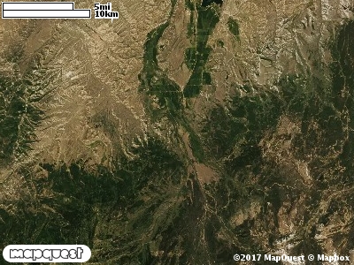
The Two Bear Cooperative Wildlife Management Unit (CWMU) is located just south of the Utah-Wyoming stateline with State Highway 150 forming much of the east boundary. The high elevation is around 9100 feet. The Hayden Fork (7800 feet to 8400 feet) and the West Fork (7800 feet to 9000 feet) of the Bear River cut the Unit on the east. Two major drainages flowing into the Bear River and its forks are Mill City Creek (8400 feet to 9200 feet) and Deer Creek (8300 feet to 9100 feet). On the west side of the Unit, Yellow Creek, ranging from 7700 feet to 8800 feet, cuts the unit. The most common elevation is 8900 feet but ranges from 7500 feet to 9600 feet with an elevation difference of 2100 feet. Fifty-six percent (56%) of the CWMU elevation ranges between 8100 feet and 8900 feet an elevation difference of 800 feet.The Two Bear Cooperative Wildlife Management Unit (CWMU) land cover is dominated by two (2) types in almost equal proportions, Rocky Mountain Aspen Forest and Woodland (22) and Inter-Mountain Basins Montane Sagebrush Steppe (62). Rocky Mountain Subalpine-Montane Riparian Shrubland (77) is also a prominent land cover type on the Unit. There is also a large patch of Rocky Mountain Lodgepole Pine Forest (29) in the southeast corner that contributes to the land cover mix.One of the Two Bear Cooperative Wildlife Mangement Unit (CWMU) nearest weather stations, Coalville (421590), is about 14.2 km west from the west edge of the CWMU. Coalville has thirty-four (34) years of records, 1974 - 2008. During the fall (September, October and November) the average precipitation is 3.71 inches, but it can be as high as 7.09 inches or as low as 1.68 inches. During the 91-day fall period, 19 days will experience greater than or equal to 0.01 inch of precipitation, 10 days of greater than or equal to 0.10 inch, or 2 day of the greater than or equal to 0.50 inch of precipitation. Snowfall during the fall averages 14.8 inches but can be as high as 32.0 inches. FALL temperature at Coalville averages 43.4 degrees F. but can be as high as 87.0 degrees F. or as low as -17.0 degrees F. During the fall, 61 days will be below freezing (32 degrees F.) and no days above 90 degrees F.