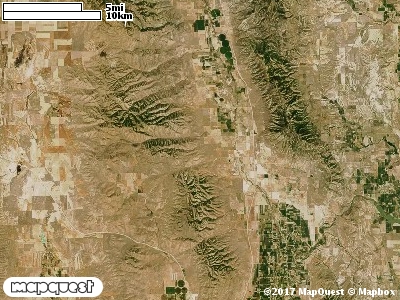
The Washakie Cooperative Wildlife Management Unit (CWMU) is located southwest of Portage, Utah and west of Washakie, Utah on the West Hills. Higher elevations occur on the north and northwest of the Unit. In the northwest the high elevation is 6900 feet, in the southwest 6100 feet, and in the northeast, 6000 feet on Lemon Peak. There are four drainages that cut the Unit, Portage Canyon (5100 feet to 5800 feet) which forms part of the north border, Ruff Canyon (4600 feet to 6600 feet), Broad Canyon (4700 feet to 6200 feet), and Little Canyon (4900 feet to 6300 feet). The most common elevation is 5800 feet but ranges from 4700 feet to 7100 feet with an elevation difference of 2400 feet. Fifty-one percent (51%) of the CWMU elevation ranges between 5500 feet and 6300 feet an elevation difference of 800 feet.Inter-Mountain Basins Big Sagebrush Shrubland (48) is the dominant land cover type on the Washakie Cooperative Wildlife Management Unit (CWMU). Another important land cover type is Rocky Mountain Bigtooth Maple Ravine Woodland (23). And, Great Basin Pinyon-Juniper Woodland (37) is scattered throughout the unit, but more dominant at the lower elevations.One of the Washakie Cooperative Wildlife Mangement Unit (CWMU) nearest weather stations, PLYMOUTH (426938), is 8.6 km southeast of the southeast edge of the CWMU. PLYMOUTH has thirty-four (34) years of records, 1940 - 2008. During the FALL (September, October and November) the average precipitation is 3.39 inches, but it can be as high as 8.54 inches or as low as 0.96 inch. During the 91-day FALL period, 16 days will experience greater than or equal to 0.01 inch of precipitation, 9 days of greater than or equal to 0.10 inch, or 2 days of the greater than or equal to 0.50 inch of precipitation. Snowfall during the FALL averages 2.5 inches but can be as high as 11.0 inches. FALL temperature at PLYMOUTH averages 47.0 degrees F. but can be as high as 94.0 degrees F. or as low as 5.0 degrees F. During the FALL, 49 days will be below freezing (32 degrees F.) and 3 days above 90 degrees F.