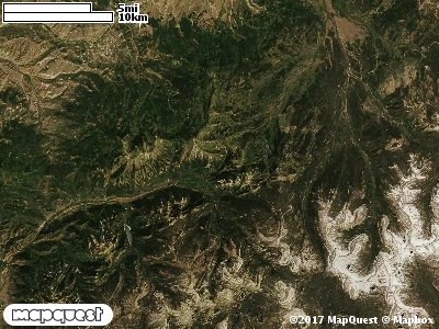
The Weber Florence Cooperative Wildlife Management Unit (CWMU) is located on the boundary of Uinta County, Wyoming and Summit County, Utah. The Unit is mainly in three parts, the south two parts are only joined by a common corner. Higher elevation in the north like Porcupine Peak is 9100 feet, in the middle part, 9800 feet; and in the south 10500 feet. Chalk Creek (6700 feet to 9500 feet) forms much of the north part's border, originating in the middle Unit. Basin Creek (7100 feet to 7700 feet) cuts the north part. Humpy Creek (9100 feet to 9400 feet) cuts the south part of the middle part. Although not the border of the Unit, the Weber River (7400 feet to 7800 feet) flows near the south border. Larrabee Creek (7700 feet to 9800 feet) and Moffit Creek (7800 feet to 9200 feet) flow into the Weber River on the south part of the Unit. The most common elevation is 7700 feet but ranges from 6700 feet to 10800 feet with an elevation difference of 4100 feet. Fifty-three percent (53%) of the CWMU elevation ranges between 7600 feet and 9900 feet an elevation difference of 2300 feet.The two (2) main land cover types on the Weber Florence Creek Cooperative Wildlife Management Unit (CWMU) are Inter-Mountain Basins Montane Sagebrush Steppe (62) and Rocky Mountain Aspen Forest and Woodland (22). The CWMU is generally divided into three large parcels. The northern most parcel is heavily influenced by Oil Well development and the southern most parcel is influenced by Rocky Mountain Alpine Bedrock and Scree (2). The general area is also influenced by meadows and spruce-fir forest.One of the Weber Florence Creek Cooperative Wildlife Mangement Unit (CWMU) nearest weather stations, COALVILLE (421590), is about 2.6 km southwest from the southwest edge of the CWMU. COALVILLE has thirty-four (34) years of records, 1974 - 2008. During the FALL (September, October and November) the average precipitation is 3.71 inches, but it can be as high as 7.09 inches or as low as 1.68 inches. During the 91-day FALL period, 19 days will experience greater than or equal to 0.01 inch of precipitation, 10 days of greater than or equal to 0.10 inch, or 2 days of the greater than or equal to 0.50 inch of precipitation. Snowfall during the FALL averages 14.8 inches but can be as high as 32.0 inches. FALL temperature at COALVILLE averages 43.4 degrees F. but can be as high as 87.0 degrees F. or as low as -17.0 degrees F. During the FALL, 61 days will be below freezing (32 degrees F.) and no days above 90 degrees F.