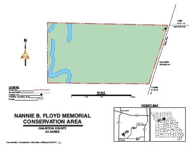
Driving DirectionsFrom Brookfield, take Highway 11 south 9 miles, then take Route E east 1.50 miles, then take Slater Avenue north 0.25 mile to area sign.
HighlightsThis is a forest area.
About This AreaThe area was acquired in 1983 through a donation of 20 acres by Mr. and Mrs. Roy Smith as a memorial for Nannie B. Floyd.The west boundary of the area is bordered by West Yellow Creek, and the remainder is predominately timber. Management of this area focuses on improving the existing woodland habitat for resident and migratory wildlife.