Driving DirectionsWestern Portions - From Milan, take Highway 5/6 south 0.10 mile, then take River Road west 2.50 miles. Eastern Portions -From Milan take Highway 5/6 south 1.20 miles, then take Ribbon Road west 1.25 miles.
HighlightsThis area contains forest, woodland, grassland, old fields, cropland, and wetlands along with the Locust Creek Experimental Stream Management Area.
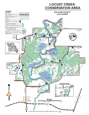
About This AreaThis 3,451 acre area is approximately one-third bottomland and upland forest and woodland. The remainder is comprised of cropland, grassland, wetland and old field type habitats.Locust Creek, recognized by the National Park Service as one of the last, largely unchannelized stretches of a typical prairie stream, flows along and through the area for 5.7 miles.Locust Creek Conservation Area was acquired in part through the Pittman-Robertson Wildlife Restoration Act administered by the U.S. Fish and Wildlife Service.The Conservation Department manages the forest, fish, and wildlife resources of this area to provide for public recreation and to protect soil and water quality. Cropping, timber management, and prescribed burning are used to improve wildlife habitat. Small wetland units provide fall and spring habitat for wetland wildlife.