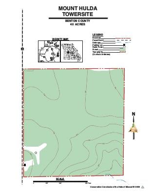
Driving DirectionsFrom Sedalia, take Highway 65 south 12 miles, then Highway 52 east 11.50 miles, then Route W south 6 miles to the towersite on the east side of the road.
HighlightsThis is a 38-acre forested area. The firetower, used to detect wildfires for approximately 40 years, was dismantled and donated in 2008 to the Cimarron National Grasslands in western Kansas.