Driving DirectionsFrom Wheatland, take Highway 54 east about 0.50 mile.
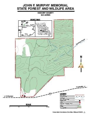
HighlightsThis area is mostly forested with upland woodland, forest, and glade communities. Facilities/features: primitive camping and intermittent streams.
About This AreaJohn Fisher Murphy had been a friend, student and protector of the land and conservation movement most of his life. In later years prior to retirement, he was actively involved as office manager of the Hickory County ASCS Office. This job, combined with his love for the land that had been in his family since the turn of the century and his close association with several farm foresters and conservation agents, resulted in the bequeath of this land to the Missouri State Conservation Commission. Fisher, also known as Mike, was a small built Irish man. He was educated (a former teacher), well read and could converse on most any topic. He asked many questions and some of them were loaded questions. He had a sly sense of humor, but never used it to intentionally embarrass you. Historical records show that the Cross Timbers (to Quincy) Spur Road of the Old Butterfield State Coach Line curved up the southwest of the tract. According to local stories, passengers took refuge in the caves during bad storms. Another legend tells that during the Civil War, an underground railroad to help slaves escape to freedom up north passed through this area. The Mansion, a two-story house used as a refuge for the slaves on their journey, stood on a farmstead about a mile west of the forest boundary. The slaves reportedly hid out in caves during raids and in other times of danger.