Driving DirectionsFrom Cameron, take Highway 36 west 6 miles, then Highway 33 north 2 miles, then Route RA 1.50 miles to area entrance.
HighlightsThis area contains 740 acres of old fields and more than 1000 acres of grasslands. There are also forest, cropland, and wetlands.
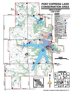
About This AreaApproximately 25 miles west of the Pony Express Conservation Area on the Missouri River is the original site of a settlement known as Blacksnake Hills, later to become the city of St. Joseph, where the Pony Express mail service began in 1860.In addition to providing public fishing and wildlife-based recreational opportunities near the St. Joseph and Kansas City metropolitan areas, Pony Express Conservation Area demonstrates the balanced relationship that can exist between agricultural operations and wildlife populations.Acquisition of land for Pony Express Conservation Area began in 1961. The Conservation Department has purchased additional tracts since then. The area includes 240-acre Pony Express Lake, which was opened to public fishing on January 1, 1966.In cooperation with the Natural Resources Conservation Service, construction of 45-acre Buffalo Bill Lake in the north part of the area was completed in 1987. The lake opened to public fishing in 1990 and features a concrete boat ramp, parking lot and facilities for visitors with disabilities.