Driving DirectionsTo Grand River Bottoms: South of Clinton on Highway 13, take SW 450 west to Route T, then west to SW 351, then north. Past SW 300, Grand River Bottoms is on both sides of SW 351.To the shooting range: From Clinton, take Highway 18 west to SW 100, then south 0.75 mile to the entrance on right side of road.
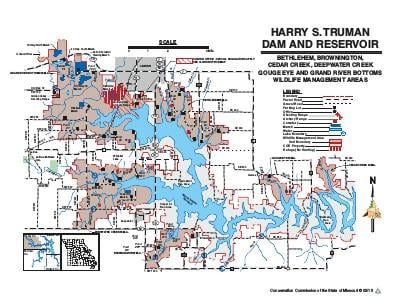
HighlightsHarry S. Truman Reservoir management lands consist of 58,133 acres distributed around the reservoir in parts of Benton, Henry, Hickory and St. Clair counties in west central Missouri. The reservoir lies within the upper Osage River basin where the Ozarks meet the plains.
About This AreaHistorically, Native Americans occupying this area were principally Osage, Shawnee and Kickapoo. Early explorers and pioneers making their way west traveled the basin, while the French trapped along the Osage River and traded with the Indians. Place names like Marais des Cygnes, Marmaton, Pomme de Terre, and Thibaut are vivid reminders of the early French influence in the Upper Osage Valley.