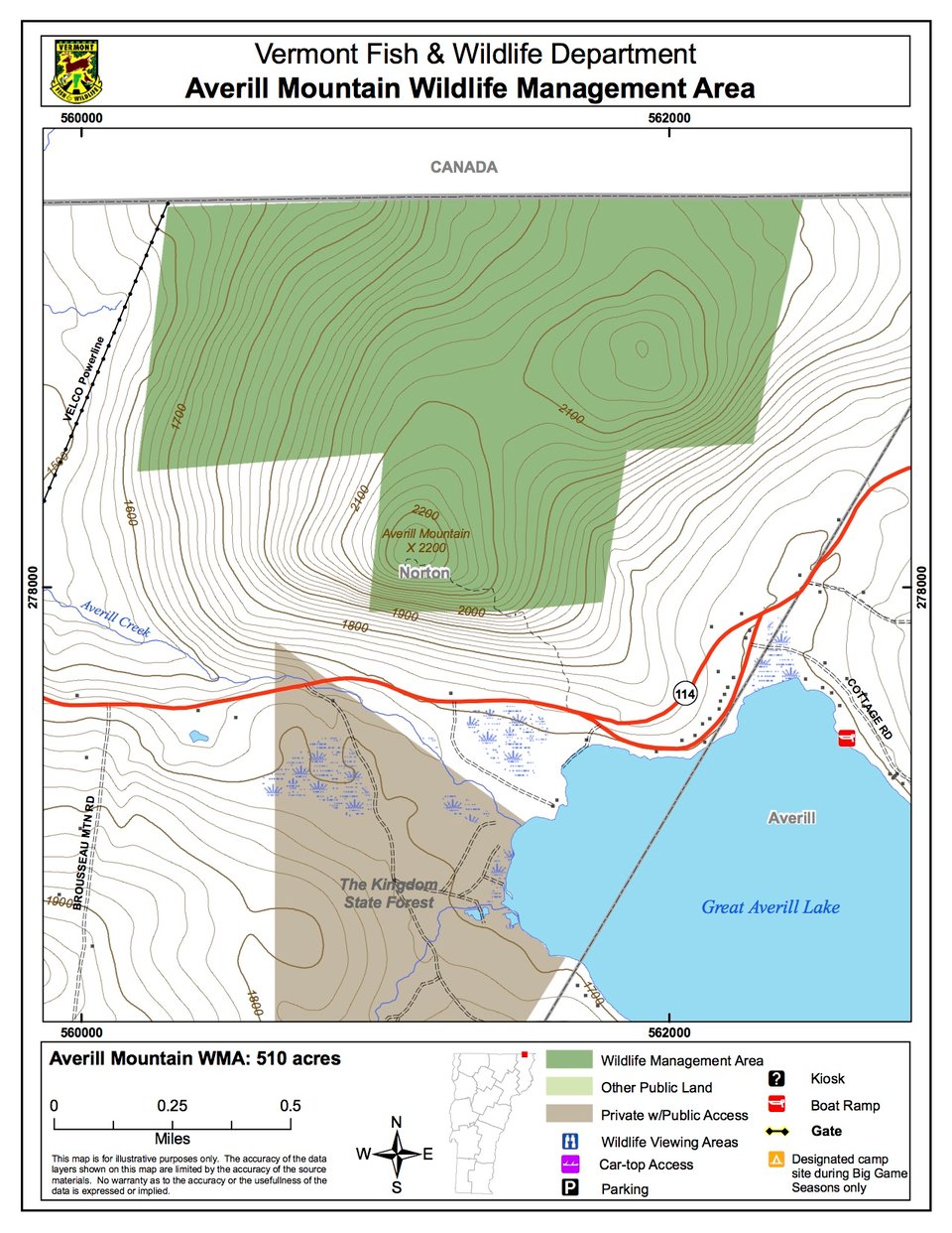
Averill Mountain Wildlife Management Area (WMA) is a 510-acre parcel of land owned by the State of Vermont and managed by the Vermont Fish & Wildlife Department. The WMA is located in the town of Norton, Vermont. It lies 2.8 miles east of Norton village on the north side of Route 114, and encompasses a large portion of Averill Mountain. It is bordered on three sides by private lands and its northern border is Canada.
Access to this WMA is by foot travel only, at the discretion of private landowners along Route 114. There is no legal right-of-way to this WMA.
The summit of Averill Mountain is 2,200 feet in elevation; from it one can view Great Averill Pond and the surrounding mountainous countryside to the south. It is a steep and rocky site, forested with red maple, sugar maple, yellow birch, beech and ash. The south slope is extremely steep and has numerous small cliffs, crevices and small boulders.
A major ice storm in 1998 caused severe damage to nearly all trees in the WMA, stripping about half of the limbs from most of them. Although this natural disturbance killed some trees and left others with a pruned, misshapen appearance, it may benefit wildlife in several ways. More sunlight can reach the ground, so dense shrubs and young trees thrive in the new openings. These are used for food and cover by animals ranging from the tiny hermit thrush to moose. Snag-dependent wildlife will benefit from the numerous cavities formed in the living, dead and dying trees, and the abundant insects inhabiting them.