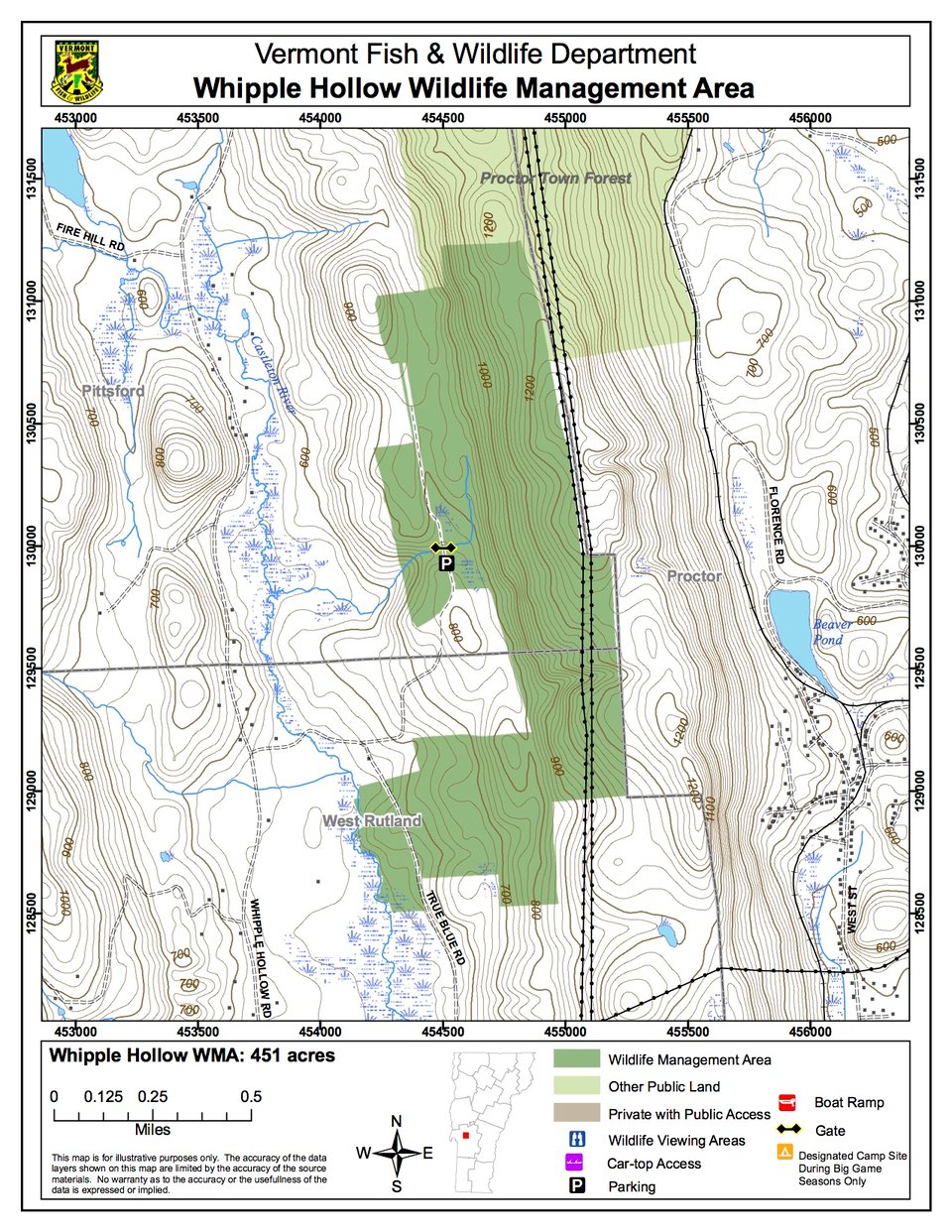
Whipple Hollow Wildlife Management Area (WMA) is a 451-acre tract owned by the State of Vermont and managed by the Vermont Fish & Wildlife Department. Some 266 acres lie within the town of Pittsford, with the remaining 185 acres in the town of West Rutland. Whipple Hollow WMA has limited access. Take Whipple Hollow Road to Bristol Road. A Class 4 road that leads directly into the WMA begins just past the cemetery. The road is public, but there is posted private land on either side of it.
The Vermont Marble Company owns the mineral rights on a 100-acre parcel on this WMA.
The major watercourse on Whipple Hollow WMA is the Castleton River, which drains the entire area and flows to the south. Steep west-facing slopes fall from an elevation of 1,200 feet to 700-800 feet and ultimately to a low of 550 feet along the parcel’s southwestern boundary, which is the centerline of the Castleton River.
Hardwoods, mostly oak and oak/hickory forest and northern hardwoods to a lesser degree, cover 323 acres (72%) of the area. The softwoods, which make up 65 acres (14%) of the WMA, are comprised almost exclusively of white pine, except for 6 acres of hemlock. The remaining 63 acres (14%) are open/semi-open lands.