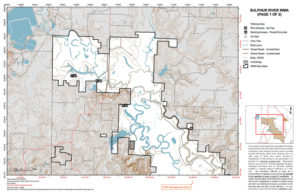
The area consists of one of the last remaining large tracts of bottomland hardwood habitat along the Red River Valley. The Sulphur River runs for approximately 10 miles through the management area. Mercer Bayou (an old river channel) located on the west side of the area consists of approximately 1,000 acres and is approximately 9 miles long. Days Creek is a major tributary on the northeast side of the area. Bottomland hardwoods, cypress breaks, and the associated oxbows and sloughs dominate this area. A small portion of the area contains rolling hills with mixed pine-hardwood adjacent to the floodplain.
Access to this area is very limited, except by boat. The west side may be accessed by traveling south on SH 71 from Texarkana for approximately 15 miles and taking SH 237east, crossing Sulphur River and continuing 2 miles and turning left onto Canal Access road and traveling to the canal access boat ramp. This is a major access point for Mercer Bayou. Using the same directions, turning right off SH 237 at the Smith Park entrance, and traveling approximately 2 miles you can access Long Slough and the Sulphur River (there are boat ramps at both locations). The east side may be accessed by traveling south on SH 71from Texarkana approximately 20 miles to the Sulphur River bridge crossing. There is a boat ramp located at the bridge. Continuing 2 miles south, turn right on CR 6 at the AGFC sign. Follow the county road, taking all rights, approximately 3 miles to the area.
Waterfowl, deer, turkey, small game, and furbearers. The area is known for it's remoteness and lack of access; creating a challenging hunting environment. See current regulations for seasons and permit requirements.