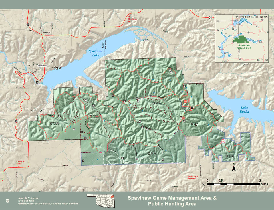
Spavinaw WMA covers 14,316 acres in western Delaware and eastern Mayes counties in northeast Oklahoma and is located south of Hwy. 20 (southwest of the town of Jay).
Spavinaw WMA is a part of the Ozark Plateau with rugged flint hills, bottom lands and some prairie on the west side. Oak and hickory trees predominate the flint hills, which are interspersed with pine, dogwoods and other understory plants. Bottom lands consist of cottonwood, hackberry and elm trees with some cleared fields present. The prairie area is comprised primarily of broom sedge bluestem, and native forbs and legumes. The average annual precipitation for the area is about 44 inches.
WMA Driving Directions:
From Jay: 5 miles west on State Hwy 20 (look for WMA signs), 7 miles south on N4559.
From Salina: 11½ miles east on Kenwood Rd (becomes CR487), WMA sign 1 mile past the town of Kenwood, go 5 miles north on Fairview-Eucha Rd.