Location: Monongalia and Preston counties
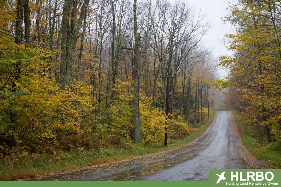
Three miles north of Dellslow and accessed by county Routes 75 and 75/2 (Snake Hill Road), the majority of the WMA lies across the Cheat River from Coopers Rock State Forest overlook.
Size: 3,092 acres
Terrain: gently rolling hills to very steep slopes in the Cheat River canyon with elevations ranging from 900 feet to 2,200 feet primarily covered by oak-hickory and cove hardwoods with scattered clearings and gas well locations
Hunting Prospects: deer, grouse, raccoon, squirrel and turkey