Driving DirectionsFrom Osceola, take Highway 82 east 5 miles, then NE 1021 north 4 miles.
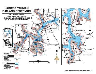
About This AreaHarry S. Truman Reservoir management lands consist of 58,133 acres distributed around the reservoir in parts of Henry, Benton, Hickory, and St. Clair counties in west central Missouri. The reservoir lies within the upper Osage River basin where the Ozarks meet the Plains.Historically, Native Americans occupying this area were principally Osage, Shawnee, and Kickapoo. Early explorers and pioneers making their way west traveled the basin, while the French trapped along the Osage River and traded with the Indians. Place names like Marais des Cygnes, Marmaton, Pomme de Terre, and Thibaut are vivid reminders of the early French influence in the Upper Osage Valley.