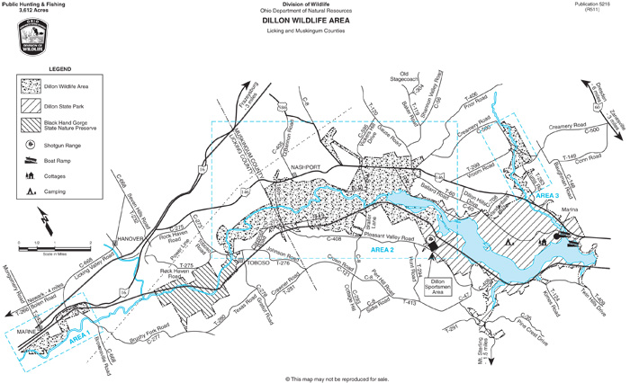
The center of Dillon Wildlife Area lies 10 miles northwest of Zanesville and 15 miles east of Newark along State Route 146. The area lies along the Licking River and the upper portion of Dillon Reservoir. Dillon is a flood control reservoir and most of the land base is characterized by broad, terraced floodplains, which are frequently flooded during the late winter and spring. Included also are adjacent rolling hills that border the Licking River valley.
Over half of the area is woodland with bottomland hardwoods (species including the sycamore, willow, and cottonwood) comprising 65% of the woodland acres. Small acreages of mast-producing oaks and hickories occur on the slopes and ridges of the surrounding uplands.
Openland occupies about one-third of the area with 90% of the openland acreage under cultivation including corn, small grains, and meadows. The remainder lies in well-dispersed fallow fields of grasses and forbs and associated brushy field borders. Brushland covers less than 10% of the area.